
KOA at Moab, Utah.

Utah Highway 279 along the Colorado River near Moab. We're on our way to Canyonlands Narional Park.


Looking up at the sheer rock cliffs.

We saw several rock climbers including a novice Boy Scout troop.

Wall Street, another look at the rock face.

Rock climbing Plateau Lizard.

Looking across the Colorado River from the highway.
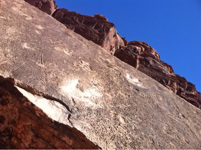
Petroglyphs

Look closely over the next few photographs and you'll see some ancient Indian petroglyphs.


Dinosaur Tracks

Scott hiked up the edge of this rock face to see the dinosaur tracks. Can you see him?


Jug Handle Arch
Long Canyon Road


Building blocks...


Long Canyon

On the right side of this road it's straight down over the edge! The road goes right under a giant slab of sandstone that slid off the mountain!


Entering Pucker Pass

Canyonlands National Park - Island in the Sky

Island in the Sky sits atop a massive 1500 foot Mesa and is quite literally an "island in the sky" and offers spectacular views of Canyonlands.

Prickly Pear Cactus
Grand View Point Overlook

From the view point looking down into Monument Valley.


Sego Lily

Prickly Pear Cactus
 .
.White Rim


Junction Butte


Monument Valley

Snow capped La Sal Mountains.

Lookin' over the edge!

White Rim at Grand View Point and me!

There's a vehicle driving the White Rim Road (at the curve in the bottom of the 3).

Scott looking out over the Grand View Point.

Scorpionweed


Who's hiding?


Monument Valley
Orange Cliffs Overlook

Green River Overlook


Green River


A little lizard sits atop a cairn.


Buck Canyon

Can you get a sense of the depth?

South fork of Buck Canyon


Mesa Arch

Mesa Arch sits right on the edge of a canyon wall. Yikes!

Whale Rock

Can you see the figure at the top of Whale Rock?

Holeman Spring Canyon Overlook

Steer Mesa

Still in velvet...

Shafer Trail


Those are bicyclists on the Shafer Trail.


Monitor and Merrimack


A drip...

No comments:
Post a Comment