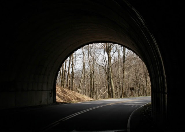
The Blue Ridge Parkway connects the Great Smoky Mountains National Park to the Shenandoah National Park. It is 469 miles long.
Steestachee Bald Overlook
Roy Taylor Forest Overlook - elevation 5580
Cowee Mountains Overlook - elevation 5950
Beavertail Ridge Overlook - elevation 5872
Graveyard Fields
A natural disaster happened here 500 to 1000 years ago. A tremendous " wind blow" uprooted the spruce forest. Through the years the old trees and root rotted leaving only dirt mounds. These mounds gave the appearance of a graveyard, giving the area the name Graveyard Fields. The forest eventually recovered but a catastrophic forest fire in 1925 consumed the entire spruce-fir forest and the mounds. The fire burned so deeply that it destroyed the soil's nutrients. Slowly the soil is recovering, maybe someday a spruce-fir forest will once again flourish in Graveyard Fields.
Cherry Cove - elevation 4327
The wild rhododendron blooms are almost ready to pop!
The Cradle of Forestry Overlook - elevation 4710
Ferrin Knob Tunnel Number 1
Tuggle Gap
Most of the parkway is beautiful scenery but there a few old restaurants and little mom-n-pop motels that have survived like this one at Tuggle Gap.
Chestnut Cove - elevation 2180, elevation here 3035
Biltmore Estate seen from the Blue Ridge Parkway.
Rock Castle Gorge
Buffalo Mountain
Rising to 3972 feet, Buffalo Mountain is an old and familiar landmark to local residents. Mothers would tell their children that they could go anywhere in a day as long as they could see the "buffalo". The great hump towers 1,000 feet above the surrounding terrain.
Pine Spur Overlook - elevation 2703
The Great Valley
The Great Valley extends through the Appalachians from New York to Alabama. Here the valley is confined by the Alleghenies on the west and the Blue Ridge Mountains on the east.
Bluff Mountain Tunnel
Shenandoah Valley at Sunset


No comments:
Post a Comment